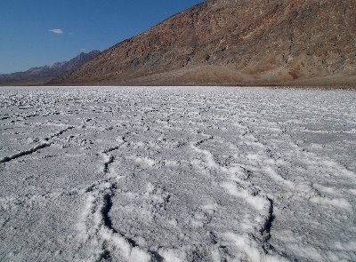
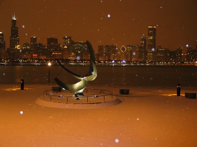
It's time to catch up with the posts here.Back in July we went to Glacier National Park, in Montana. The weather was very good, clear , hot and hazy - this is not a good combination for photography. Unfortunately even at sunrise and sunset the light was very bland and meaningless.Anyway, first things first: the mandatory picture of the island on St. Mary's lake. This is the best known view in the park and everybody takes a picture of it, so here we go:
 The park covers a vast mountaneous range that was shaped in valleys and lakes by glaciers; many of these glaciers are still there today, even though they are dwindling in number and size very quickly. They estimate that within 30 years there will be no more glaciers left, but they assure us that the park will not change its name.
The mountains are not as impressive as I had anticipated, but the lakes are all very nice.
The first here on the left is Hidden Lake; it can be reached with a fairly long hike from Logan Pass, the highest point of the Going To The Sun Road.  On the way, even in the summer, you will find a lot of snow and some mountain goats enjoying the cooler breeze in the altitude.
 The Going To The Sun Road crosses the park in the east-west direction and gives you access to St. Mary's Lake and Lake McDonald (both here on the right). The road has a lot of traffic in the summer, but if you take the time to do some hiking you will find a lot of very nice, quiet and secluded places to explore.
 I took the same picture of Lake McDonald with my large format camera, but the result was sort of disappointing. The light was just not right.
Less disappointing was the wildlife: besides the mountain goats, we also had a chilling encounter with a very aggressive, large and dangerous snake (I wasn't able to take a picture of it because I was busy running for my life, but I assure you that it was a very dangerous species).

 Outside the park, in a wilderness preservation area south of Flathead Lake, we also found several bisons, a very aggressive, large and dangerous greezly bear (hmm... maybe not) feasting on top of a tree, and an antilope that didn't have any intention of letting us continue on our way.
 North Carolina is not as famous as New England for foll foliage colors, but it's not too bad either. I took these pictures last Sunday along the Blue Ridge Parkway, which follows the top of the Appalachians between North Carolina and Virginia.
 Unfortunately the extreme drought that hit the area in the last few months has caused the colors of many trees to be a lot less nice than they should be (see the yellows here on the right), so I will have to cheat and post some pictures that I took in the same place last year and that for some reason I must have forgotten to post before.
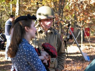
 As you can see, I was not the only one taking pictures...
 ...a patch of pumpkins (just in time for Hallo
 ween), and more trees.


